|
Parcel and Zoning Viewer/ Parcel Summary Tool

|
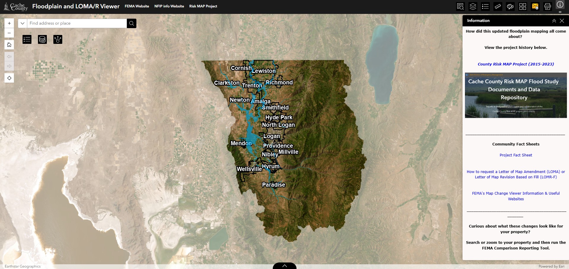
Floodplain Viewer
|
|
Survey and Section Corner Viewer

|
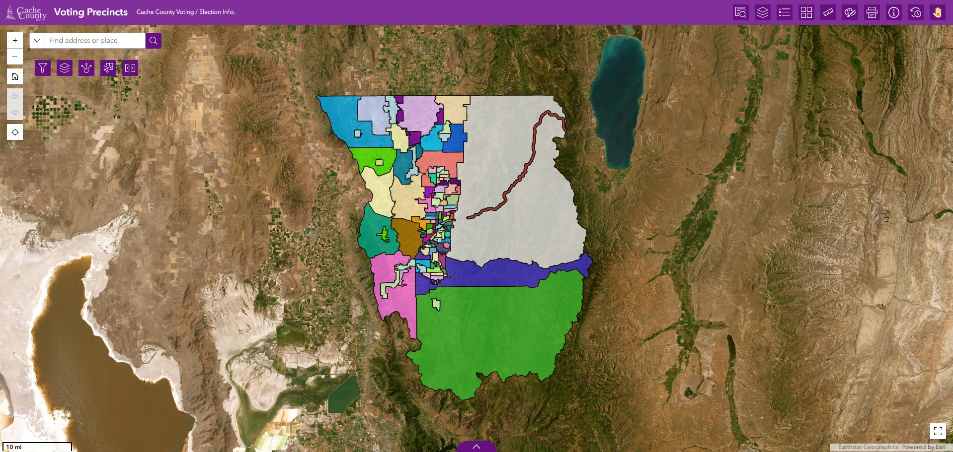
Voting/Precinct Viewer
|
|
Property Market Value Change Map

|
House Numbers Map Generator

|
|
Recreation Viewer (Take this map offline — Instructions Here)

|
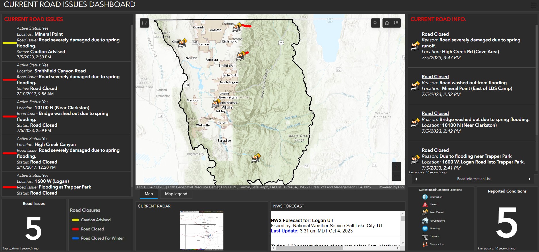
Current Road Conditions
|
|
Original 1800's Surveys

|
Canal Alignment/ Service Areas Viewer

|
|
Open Space Projects

|
Historical Roads Viewer

|
|
Housing Stock

|
Cache Historical Building Tour

|
|
Drainage Districts Viewer

|
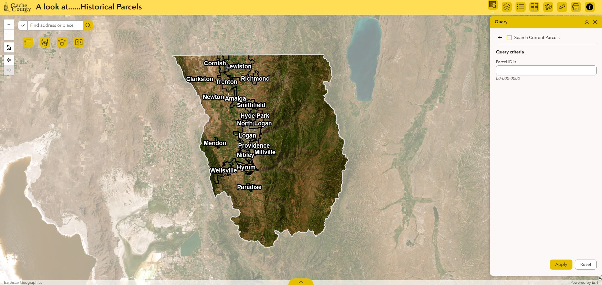
Historical Parcel Viewer
|
|
USGS Topo Finder

|
RAPZ Tax Projects Viewer

|
|
Road Cycling Comfort Level Viewer

|
Districts Viewer

|
|
Agricultural and Sensitive Lands Viewer

|
Fair and Rodeo

|
|
Ignite The Light

|
Coloring Cache

|
|
|
|
Adopt-a-Trail Reporting Tool

|
Countywide Services

|
|
CMPO Regional Transportation Plan

|
Development by Decade Map

|
|
History of Land Surveying in Cache Valley

|
Summer Fun in Cache County

|
|
Cache Firework Restrictions

|
Eagleview/Pictometry Imagery Index

|
|
Subscribe to our Newsletter

|
Logan 1974 Aerial Imagery

|